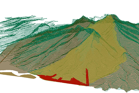
The collection, analysis and representation of spatial features in an area combines technology and art. It is essential to plan, develop, manage, and protect natural areas.
BioSistemas offers topographic surveys with total station and GPS, georeferencing sites and features, digitizing images and maps, GIS modeling and analysis, GIS-based management tools, and GIS-based learning and communications platforms.


