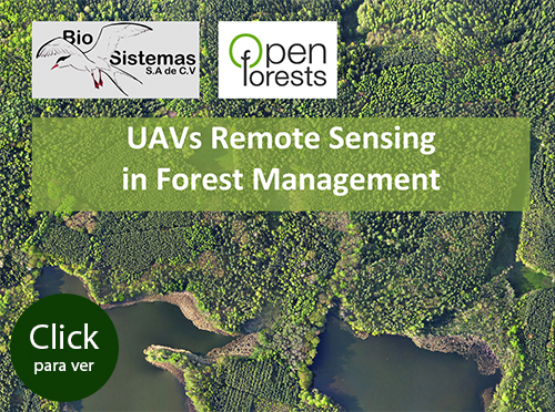
In conjunction with our corporate Open Forest partner (www.openforests.com), BioSistemas offers capture and analysis of UAV/Drone aerial images at up to 3 cm resolution, geo-referenced and ortho-rectified.
We also offer services in using such images from promotion and marketing through generating maps and GIS layers, to natural resource inventories or quantifying environmental damage from human or natural causes.


