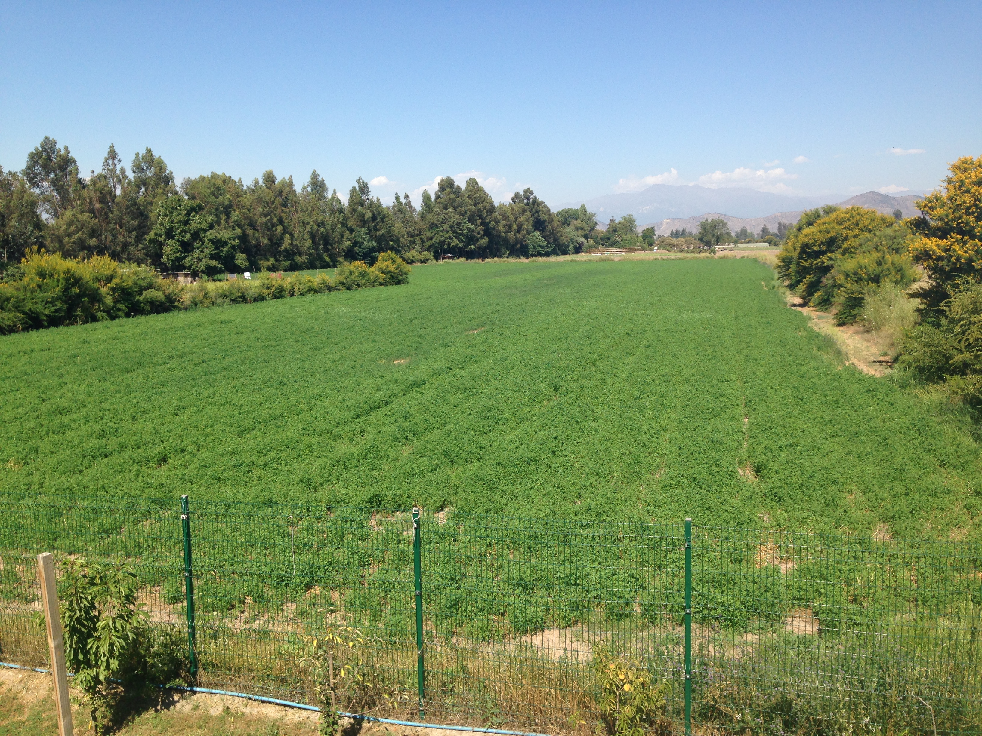
Establishing protection for a natural area should start with identifying its boundaries on the ground and within a legal context involving land and property rights, land tenure, and land and resource management and protection. Having experienced specialists supported by modern equipment, tools, and software. BioSistemas offers technical services in all forms of spatial analysis: planimetric and altimetric surveys, precision GPS surveys, field marking and delimitation, cadastral mapping and registry, and GIS modeling and analysis for planning, management, and monitoring. We have special experience in the application of these tools to natural areas.